
High-fidelity aerial data—captured, validated, and ready for analysis.
Overview:
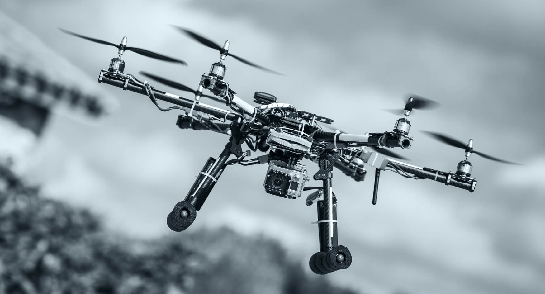
We plan and execute enterprise-grade capture missions using LiDAR, multispectral, thermal, and RGB sensors. Our sensor-agnostic pipelines ensure consistent quality controls, accurate georeferencing, and secure data handoff for downstream analytics, inspections, and 3D modeling.
Ideal for: Infrastructure surveys, earthworks, utilities, vegetation/crop analysis, asset audits.
Use cases:
-
Topographic mapping and cut-fill planning
-
Corridor mapping (roads, rail, transmission)
-
Vegetation health and encroachment analysis
-
Thermal anomaly scans for solar/waste-heat detection
Workflow:
-
Scope & flight plan (airspace, altitude, GSD targets, safety)
-
Permissions & risk assessment (local regs)
-
Capture & QC (flight logs, calibration, GCPs)
-
Secure upload & checksum verification
-
Handover or optional processing (see add-ons)
Deliverables & formats: Raw sensor packages, flight logs, and metadata; optional pre-processed GeoTIFFs/LAS/LAZ; thermal radiometric files.
Add-ons: Ground control networks, repeat-cycle capture, change detection baselines.
Timeline & SLAs: Typical 3–10 business days from flight window, weather and permissions dependent.
Compliance: Operations adhere to applicable aviation rules (e.g., CAAS/DGCA) and site-specific safety protocols.