

Interactive 360° and browser-based 3D make complex environments understandable to non-technical stakeholders—accelerating approvals and reducing meeting cycles.
We build terrain-aware models for flood exposure, heat islands, and access constraints. Results inform mitigation, budgeting, and emergency playbooks.
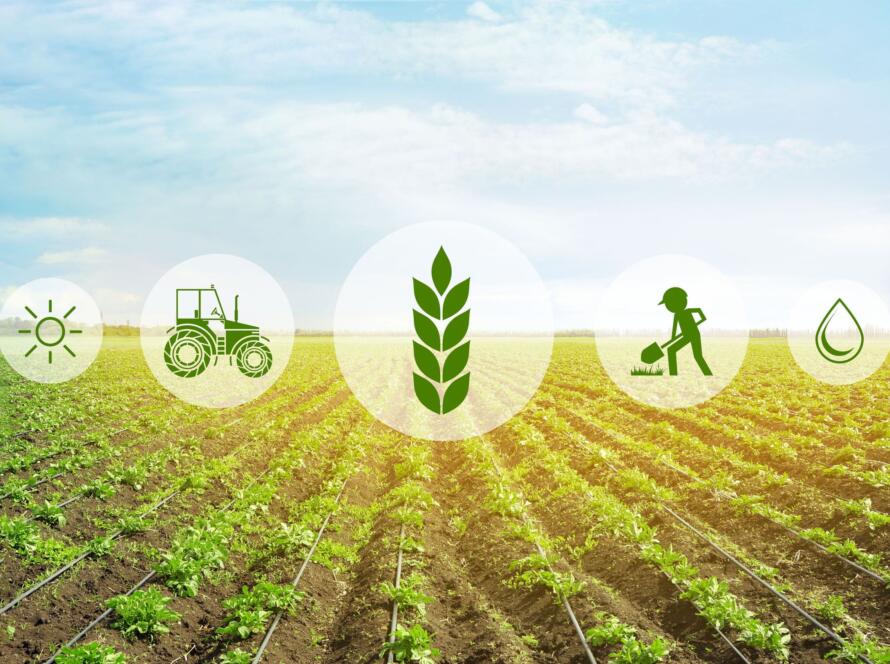
We produce crop vigor maps, moisture indicators, and issue detection at field scale. Insights drive variable-rate actions and timely interventions.
Routine capture and automated comparisons enable stakeholders to track progress, validate quantities, and prevent costly rework. Integrations with scheduling tools and BIM/GIS streamline communication and claims.
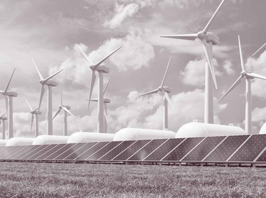
We deliver inspection-grade imagery and thermal analytics for energy and industrial assets—minimizing downtime and improving maintenance planning. Our models flag defects and prioritize remediation.
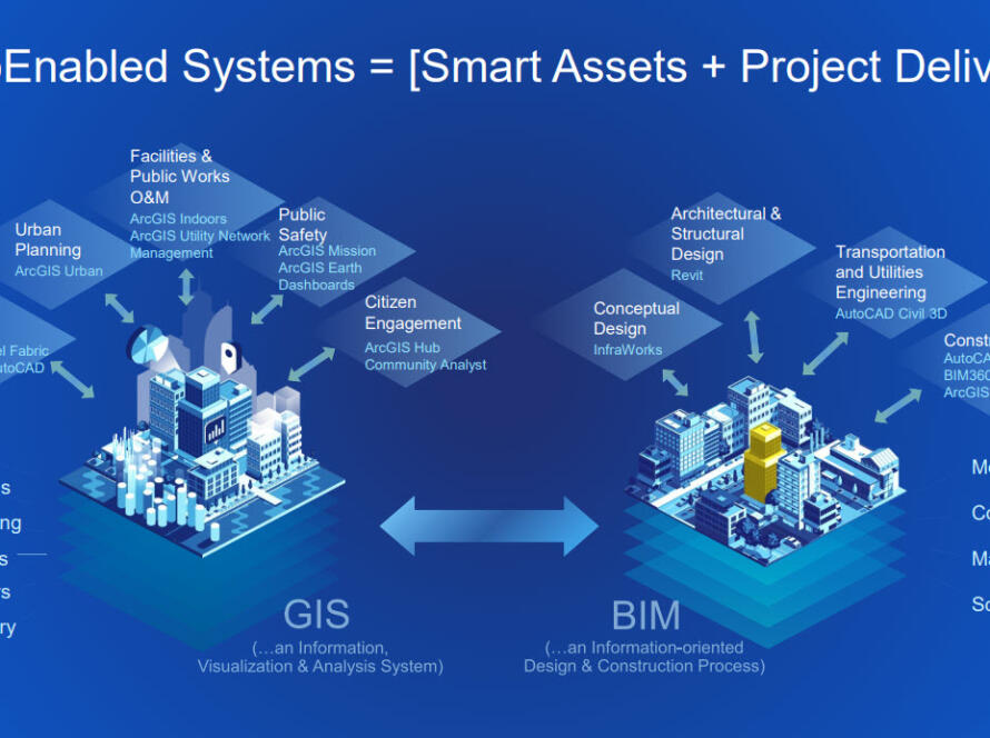
We convert multi-sensor inputs into georeferenced point clouds, meshes, and textured models. Twins are versioned for progress tracking and plug into your GIS/BIM stacks for design coordination, clash detection, and asset integrity workflows.
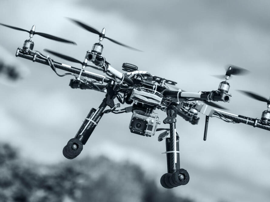
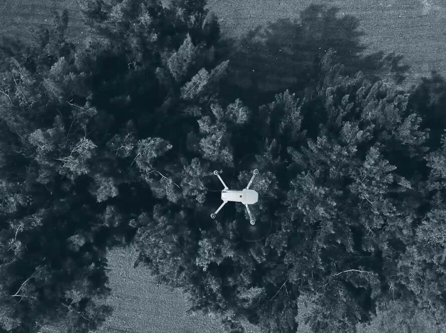
We plan and execute enterprise-grade capture missions using LiDAR, multispectral, thermal, and RGB sensors.