
From sky to soil—decisions that boost yield and cut waste.
Overview:
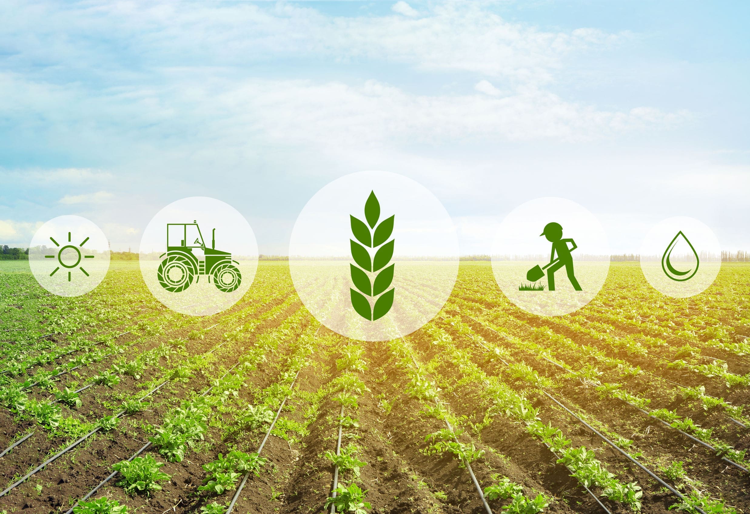
We produce crop vigor maps, moisture indicators, and issue detection at field scale. Insights drive variable-rate actions and timely interventions.
Ideal for: Agribusinesses, cooperatives, precision-ag providers.
Use cases:
-
NDVI/NDRE vigor and stress detection
-
Irrigation optimization & moisture patterns
-
Pest/disease hotspot identification
-
Yield estimation and harvest planning
Workflow:
-
Plot boundary & crop calendar setup
-
Sensor selection (multispectral/thermal) & capture
-
Index computation & zonal stats
-
Recommendations with confidence ranges
-
Optional API to farm management systems
Deliverables & formats: GeoTIFF indices, shapefiles/GeoJSON zones, KMZ field views, PDF advisory.
Add-ons: Variable-rate prescriptions, season-long monitoring, ground truthing.
Timeline & SLAs: 2–5 business days per capture cycle.
Compliance: Flights planned to avoid privacy intrusions; data minimized as feasible.