

We can help you with these services
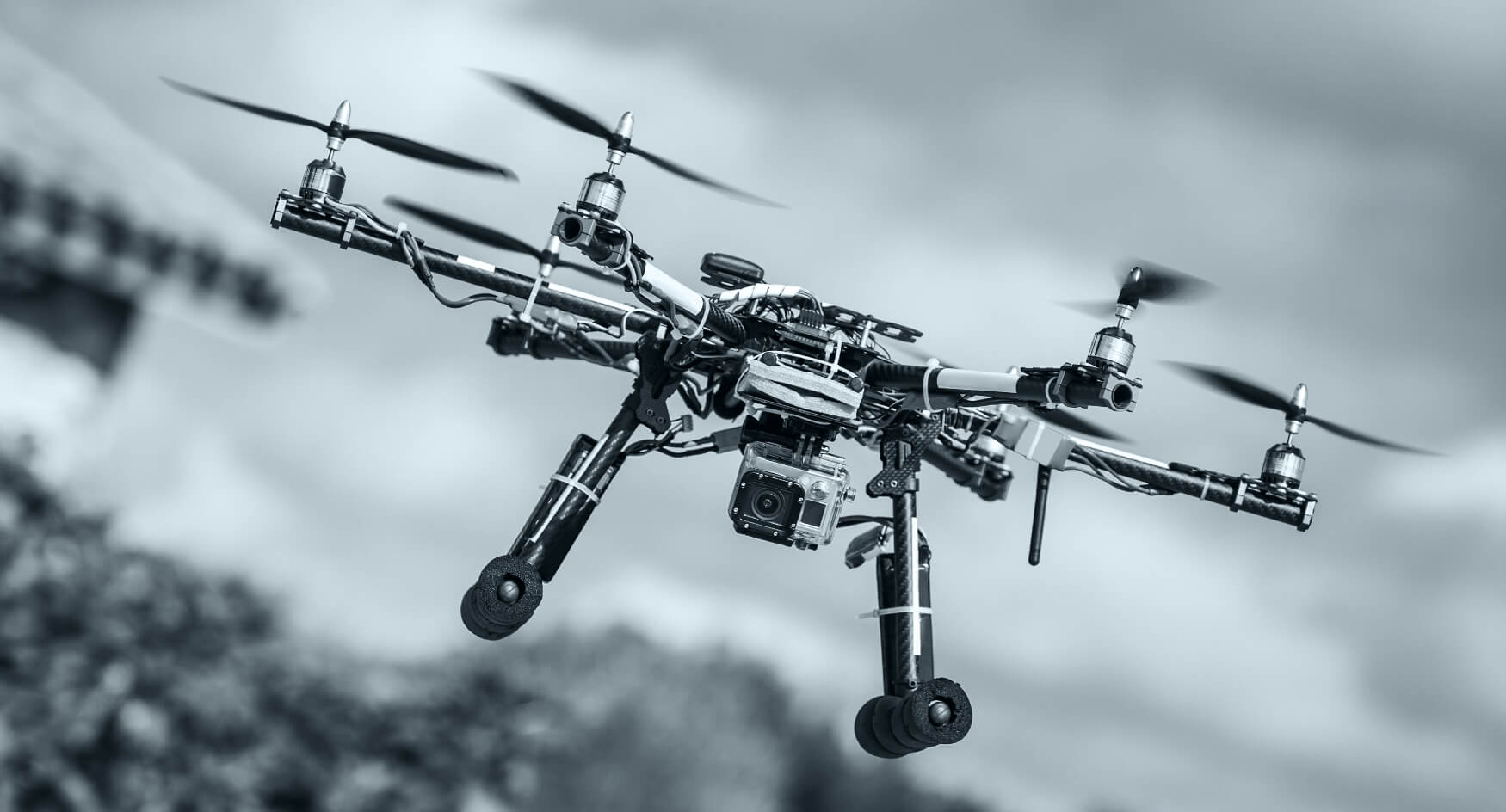
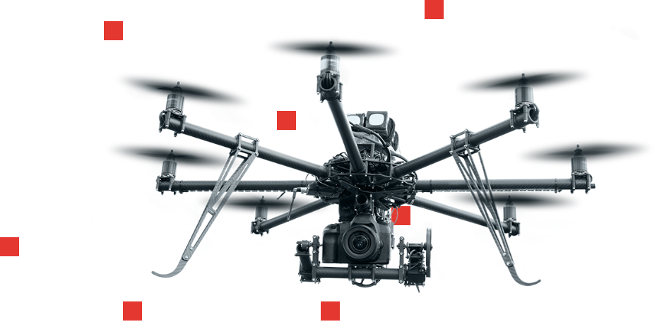
We engineer the technology behind high-precision drone capture, AI processing, and immersive visualization—so your teams can plan, inspect, and decide faster.
Singapore’s platform partner for AI-powered aerial data, 3D digital twins, and secure cloud delivery.
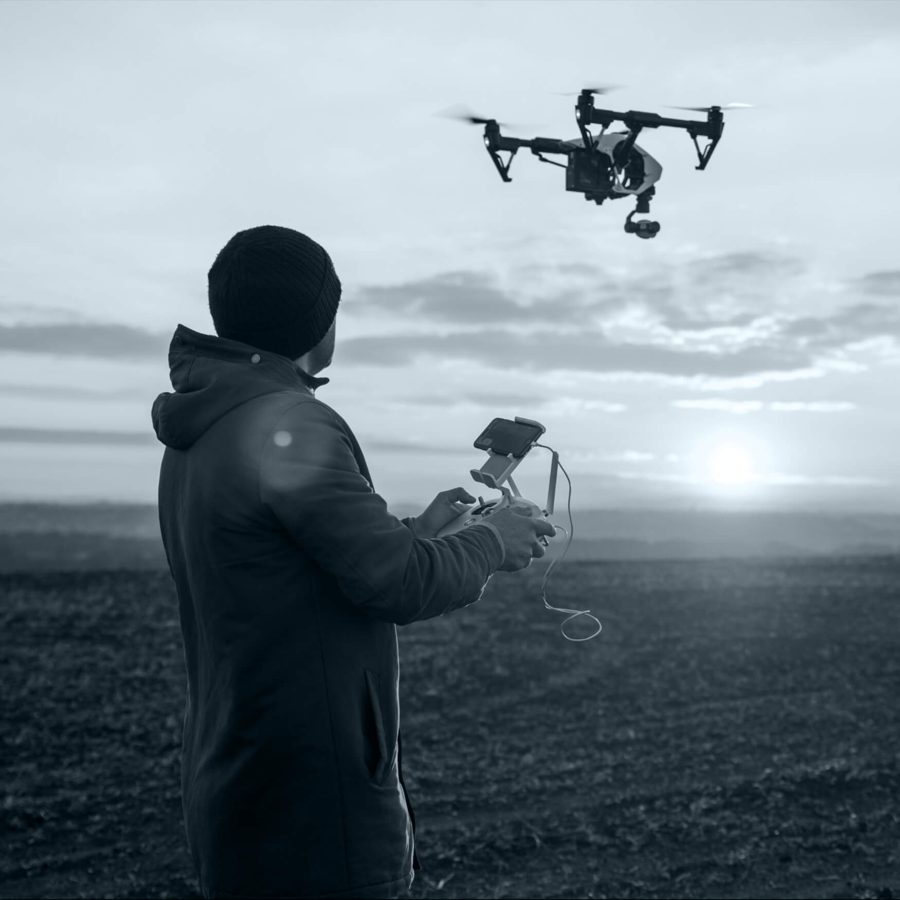
Aerial Data Capture
3D Digital Twins
Industrial Inspections
360° VR & Reports

Expert Drone & Digital Twin Services for Unmatched Operational Insight


We’re about quality and trust
Our stack unifies advanced sensing, secure cloud, and applied AI—delivering reliable results your field teams and executives can trust.
Quality
Sensor-agnostic pipelines, centimeter-level accuracy, and strict QC across every deliverable.
Professional
Certified workflows, documented SLAs, and integration support for GIS/BIM and enterprise tools.
Trusted
Data security by design—access control, encryption in transit/at rest, and compliant processing.
Want to know more?
Find out here!
From formats to compliance, here’s how we make deployment simple and secure.
What deliverables do you provide?
Orthomosaics, point clouds, 3D meshes, DEM/DSM, thermal maps, and annotated inspection reports in common formats (LAS/LAZ, OBJ/FBX, GeoTIFF, PDF).
Can I switch or add locations mid-project?
Yes. Our planning workflow supports multi-site scheduling and phased capture without disrupting timelines.
Do you sign NDAs?
Absolutely. We routinely operate under NDA and can align with your security and vendor policies.
Do you operate internationally?
Yes. We’re Singapore-based with partner coverage across APAC, MENA, and India, subject to local regulations.
How do you handle data security and residency?
Data is encrypted in transit and at rest. We can provision Singapore-hosted or client-preferred clouds and follow your retention policies.

Singular engineering vision, enhanced by cutting-edge AI
We build the foundational tech that converts complex environments into measurable intelligence—so you can reduce risk, cut costs, and accelerate decisions.
Our clients say
Numenor’s twins cut our site visits by half and flagged clashes weeks earlier than our old workflow.

Natalie Rotman
Thermal + RGB inspections identified string underperformance in a single afternoon. ROI was immediate.

Nancy Gilmore
The accuracy of their LiDAR models gave us confidence to fast-track permitting without rework.

Jason Morris
The 3D models improved stakeholder buy-in. Council approvals moved notably faster.

Melissa Benton
Blade anomalies were auto-tagged and prioritized. Downtime and lift costs dropped significantly.

Patrick Lee

Recent updates in drone aerial video
Adipiscing elit, sed do euismod tempor incidunt ut labore et dolore magna aliqua. Ut enim ad minim veniam, quis nostrud exercitacion ullamco.
Adipiscing elit, sed do euismod tempor incidunt ut labore et dolore magna aliqua. Ut enim ad minim veniam.

